Environmental Expertise for Better Decisions
Ecospatial Solutions provides environmental and geospatial expertise to support informed decision-making in complex project environments.
Our work brings together technical advisory, Indigenous partnership, and advanced spatial analysis to help clients understand environmental systems, evaluate technical information, and make sound, evidence-based decisions.
How We Support Better Decisions
We work at the intersection of environmental science, geospatial analysis, and project advisory — helping clients navigate complex environmental decisions with clarity and confidence
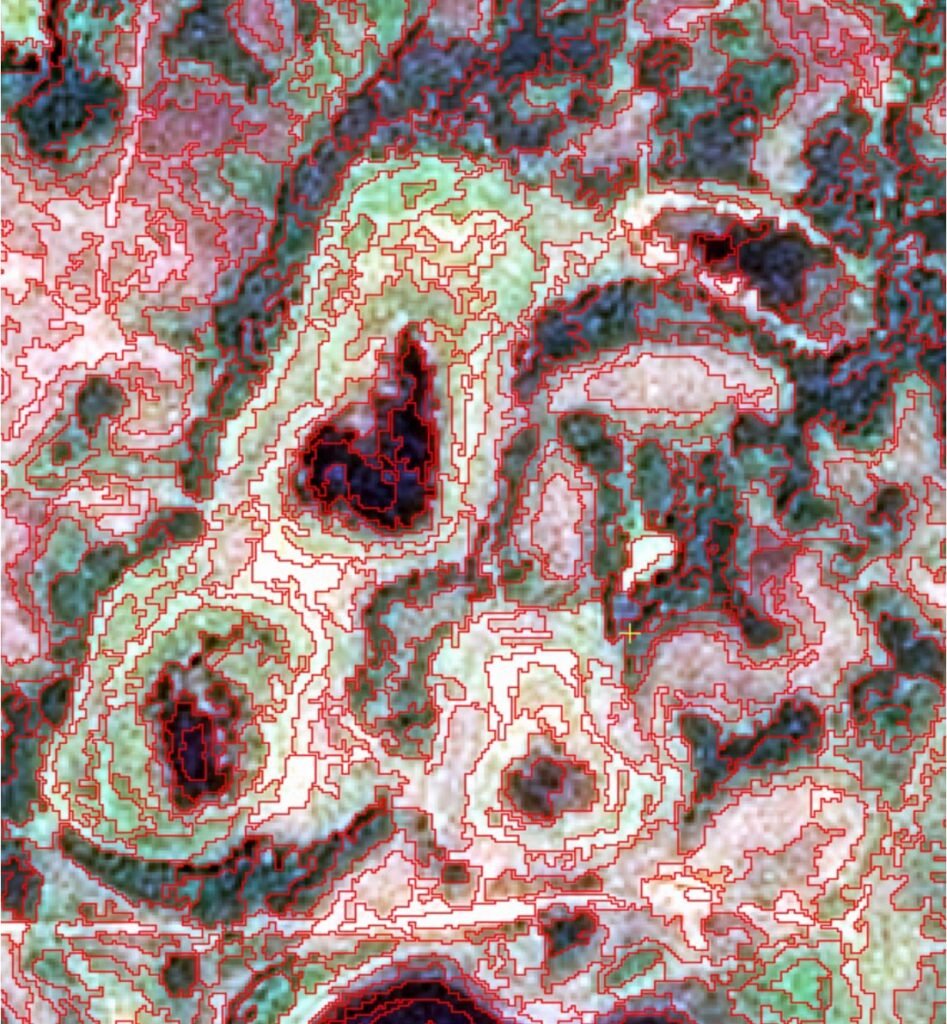
Geospatial Analysis & Environmental Insight
Turning spatial and environmental data into clear, decision-ready insight.
Indigenous Partnership & Capacity Building
Supporting community-led monitoring, training, and long-term environmental stewardship
Environmental Advisory & Representation
Guiding projects and representing client interests in complex environmental decisions.

Principal & Lead Consultant
Dr. Dave Atkinson, PhD.
Dr. David Atkinson is an environmental scientist and Associate Professor in Geography and Environmental Studies at Toronto Metropolitan University, with over 20 years of experience working across Arctic, prairie, and northern ecosystems.
His work focuses on remote sensing, environmental monitoring, and applied geospatial analysis to understand how landscapes respond to climate change and development.
Through Ecospatial Solutions, he brings this expertise into applied consulting — supporting clients with environmental advisory, spatial analysis, and decision-making in complex project environments.
He has worked extensively with Indigenous Nations across Canada, supporting community-led monitoring, environmental planning, and capacity-building initiatives. His work is grounded in an Indigenous-led co-production and co-learning approach, where environmental knowledge, data, and decision-making are developed collaboratively and applied in ways that support long-term community priorities and stewardship.
Where We Apply Our Work
We work across diverse environmental and project contexts — from Indigenous-led land stewardship to municipal planning and climate adaptation.
Our role is to bring environmental expertise, spatial analysis, and advisory support into real-world decisions, helping clients navigate complexity, understand landscape change, and plan with confidence.
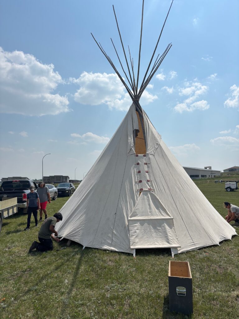
Indigenous Conservation & Stewardship
Supporting Indigenous-led conservation and land stewardship through environmental monitoring, spatial analysis, and long-term planning.

Guardians & Environmental Monitoring
Designing and supporting Guardians programs, including water monitoring, environmental data collection, and community-based training.
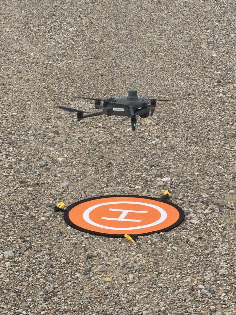
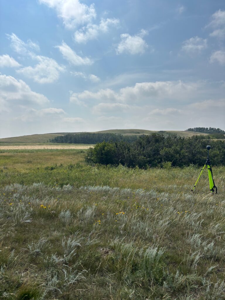
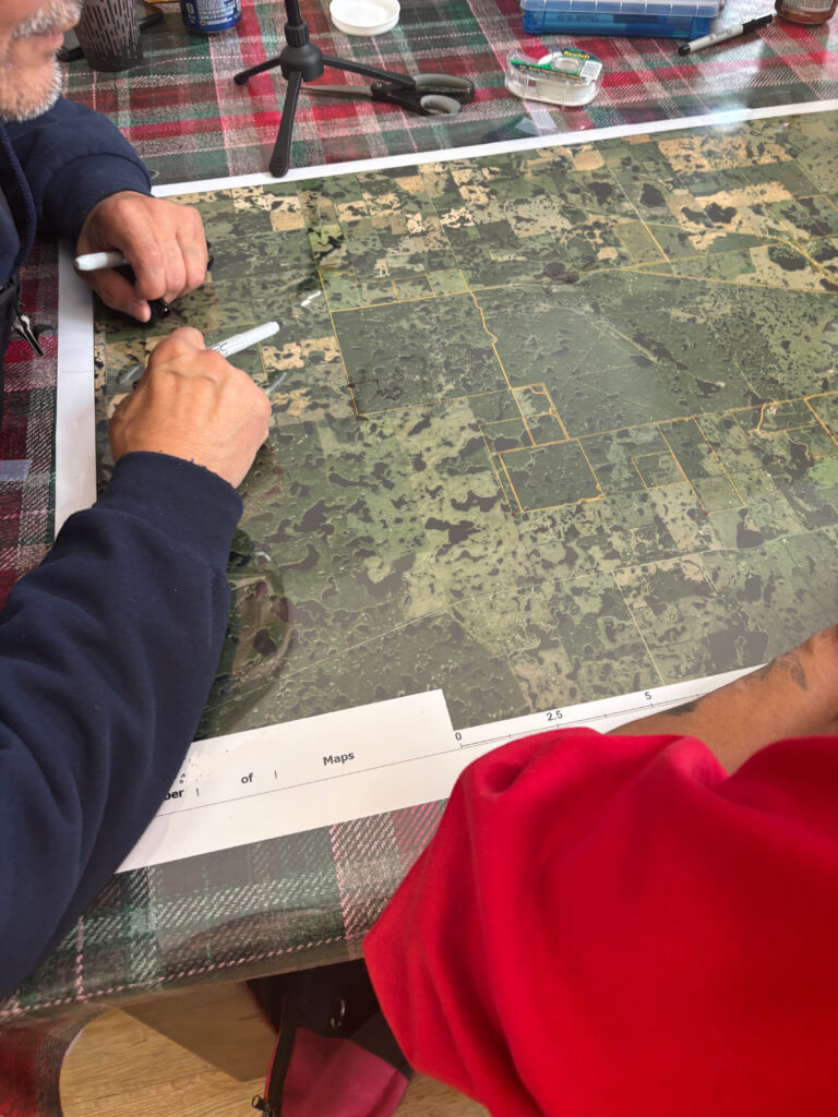
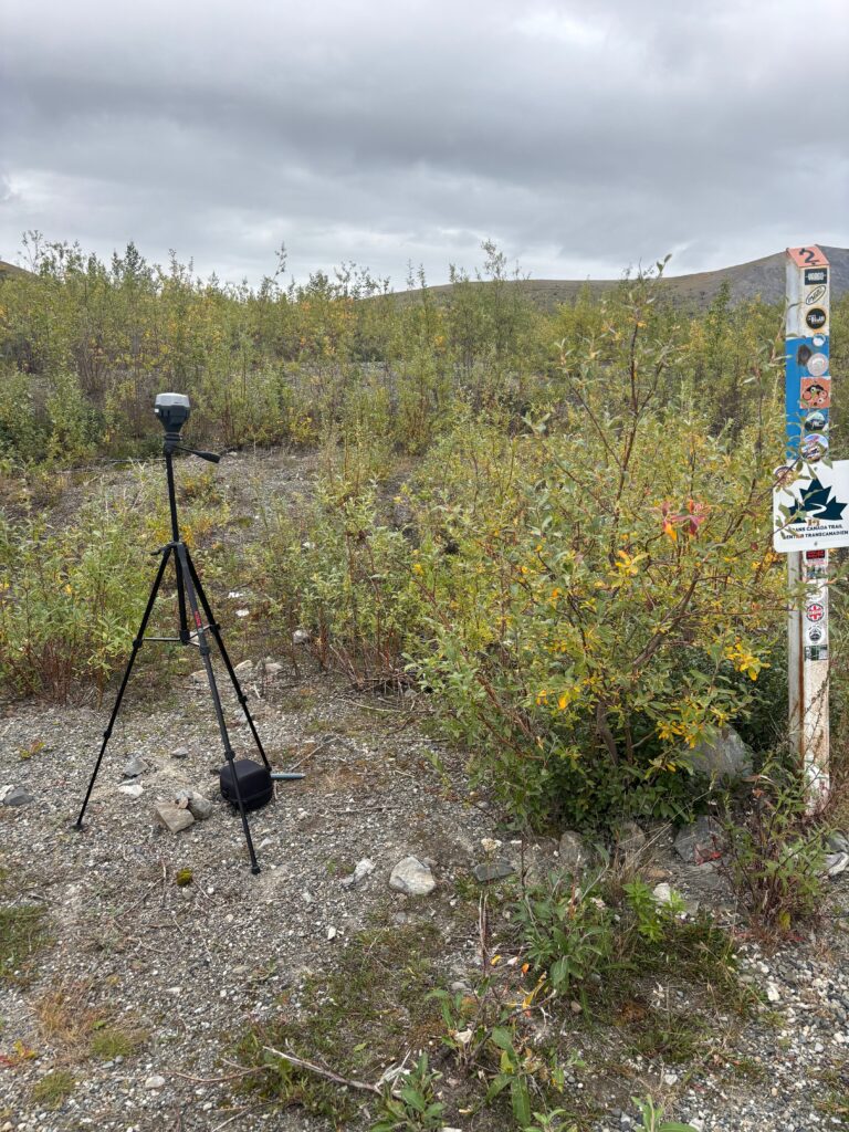
Drone Mapping & Spatial Data Collection
Capturing high-resolution spatial data using drone-based LiDAR, imagery, and RTK-enabled mapping to support environmental analysis.
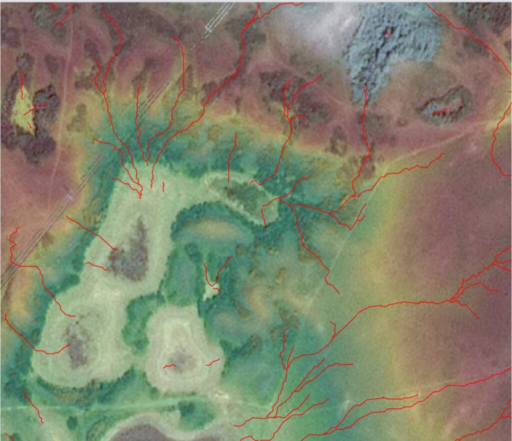
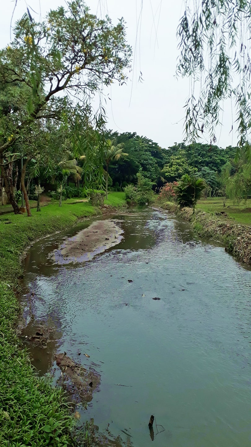
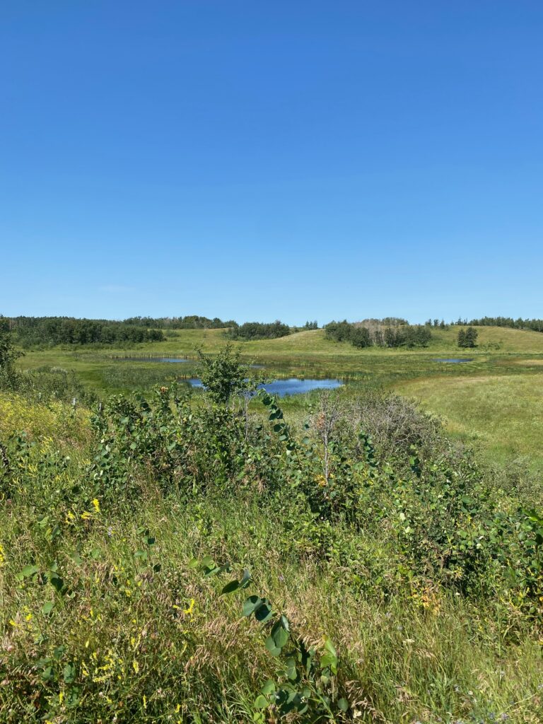
Landscape & Ecosystem Analysis
Analyzing vegetation, hydrology, and landscape systems to understand environmental change and support land-use decisions.
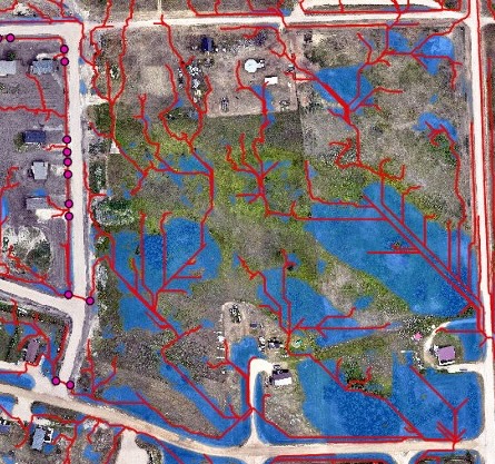
Flood Mapping & Hydrological Assessment
Supporting flood mapping and hydrological analysis to assess risk, evaluate infrastructure, and inform planning decisions.