Service Overview
Discover our specialized environmental consulting offerings, featuring advanced geospatial mapping and expert advisory to enhance sustainable land management and planning.

Environmental Advisory
Providing expert guidance rooted in over 20 years of experience to support sustainable development and regulatory compliance.
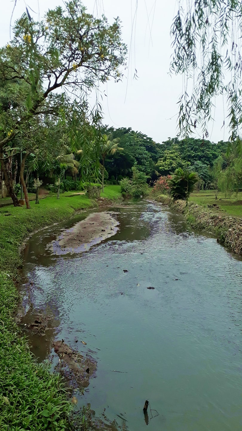
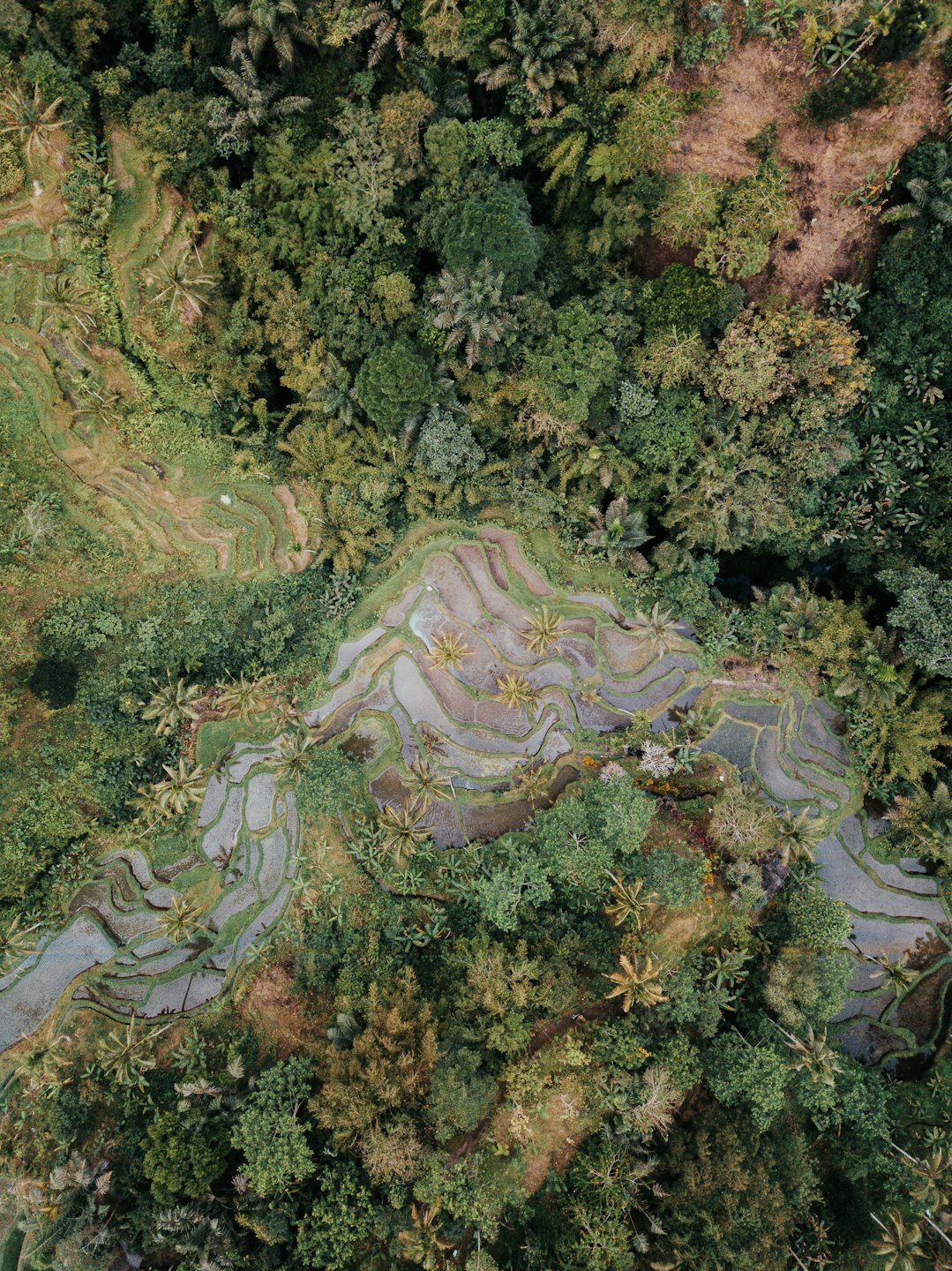
High-Resolution Aerial Mapping
Utilizing drone-based LiDAR and GIS technologies to deliver precise spatial data for informed decision-making.
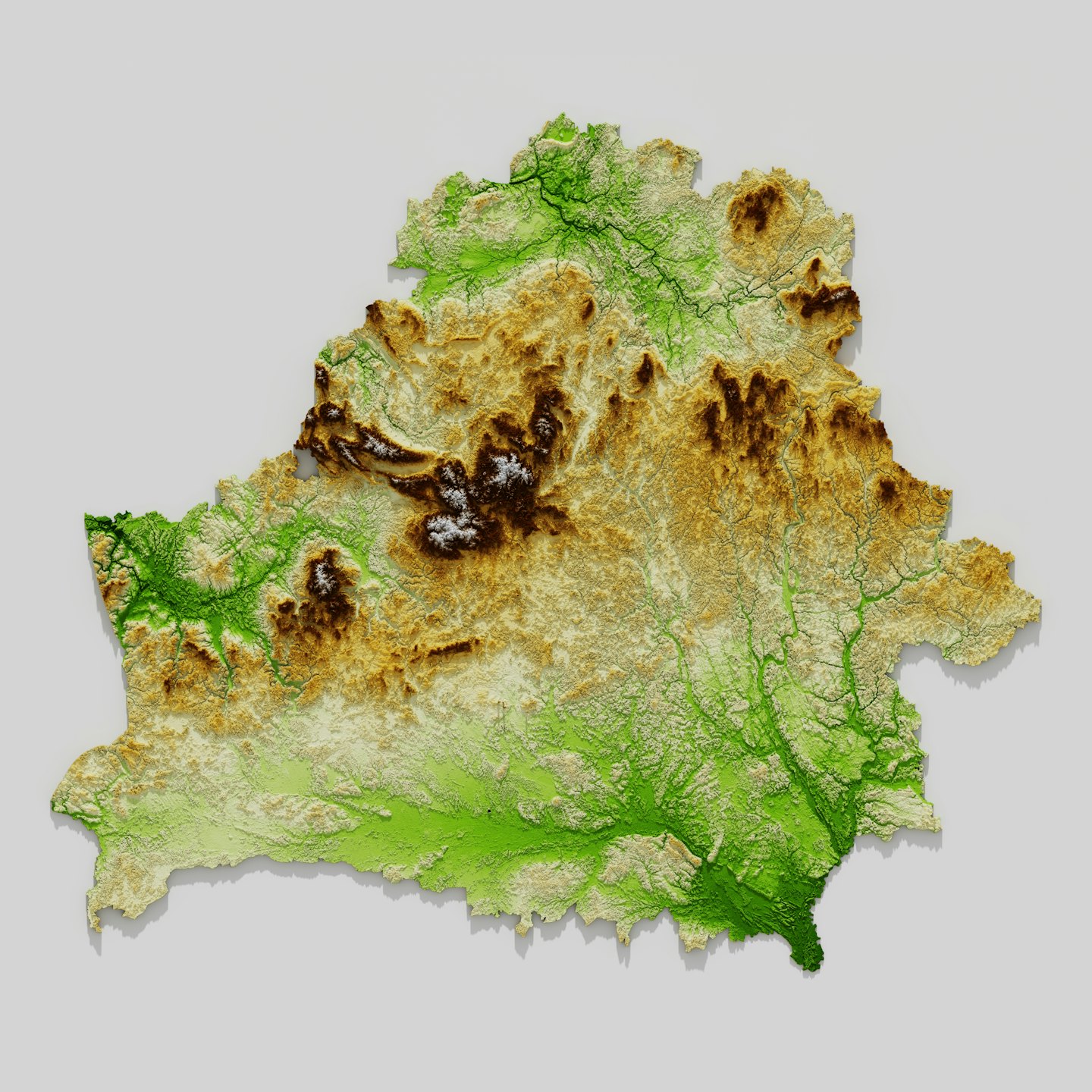
Spatial Data Visualization
Transforming complex environmental data into accessible visual formats to aid planning and conservation efforts.
Mapping the Path to Resilient Futures
Explore our pioneering projects that blend innovative geospatial technology with environmental stewardship to drive impactful, sustainable outcomes.
Indigenous Land Use Planning
Collaborative Territory Mapping

Advanced Climate Monitoring
Real-Time Environmental Data
Conservation Strategy Development
Habitat Restoration Planning
Expert Environmental Analysis and Mapping Services
Discover how EcoSpatial Solutions leverages drone LiDAR and GIS to deliver precise, actionable insights that empower sustainable land use and conservation planning.
High-Resolution Aerial Mapping
Utilizing drone-based LiDAR technology, we generate detailed spatial data to support accurate environmental assessments and planning.
Environmental Advisory Services
Providing expert guidance rooted in scientific research to inform sustainable development and land management decisions.
Climate Monitoring and Analysis
Tracking environmental changes over time to support adaptive strategies for climate resilience and resource conservation.
Spatial Data Visualization
Transforming complex geospatial information into clear, interactive maps and visual tools for diverse stakeholders.